![]()
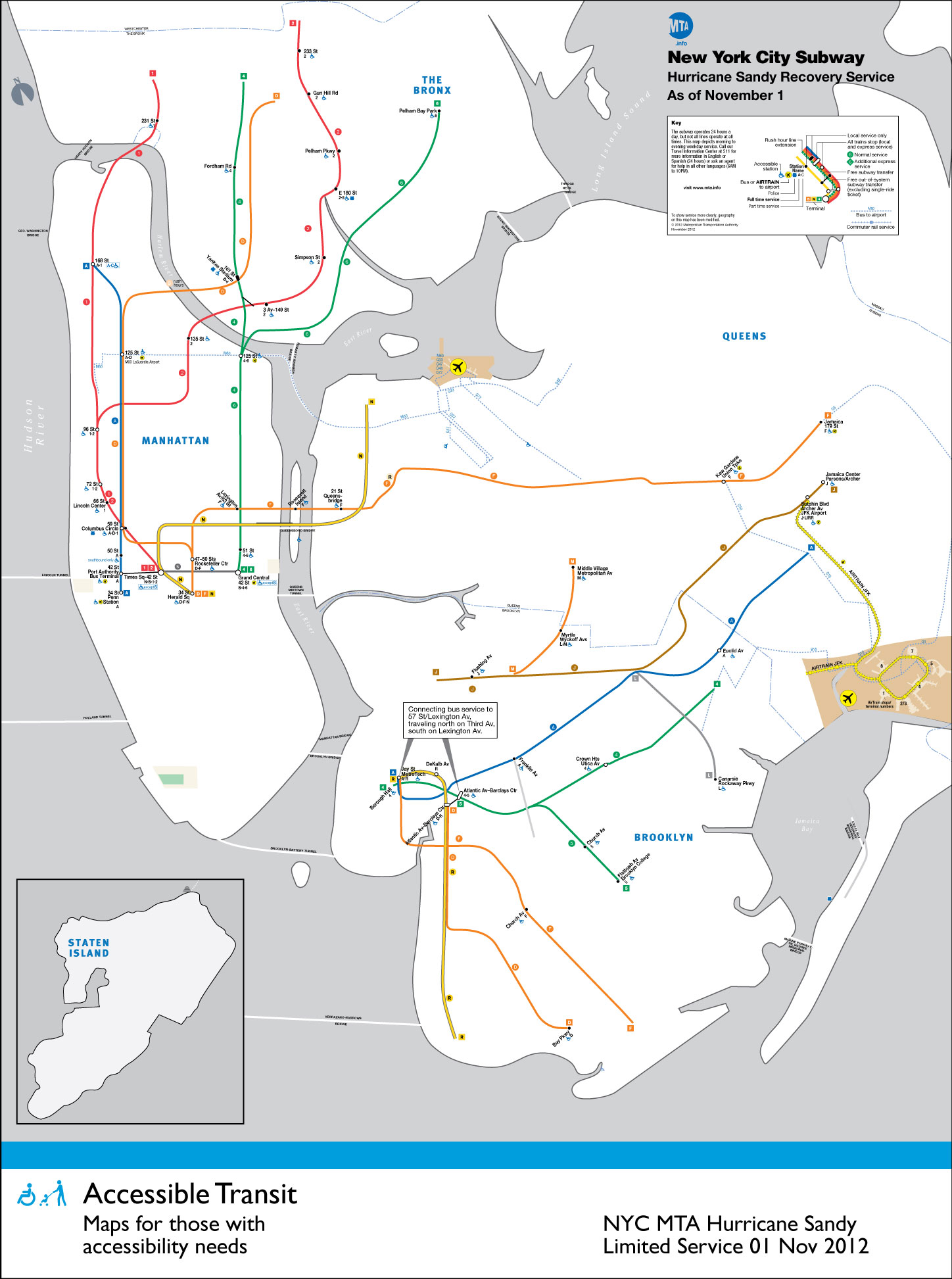
With the extensive damage wrought by Hurricane Sandy on the Northeast it is unsurprising that the New York Subway has been especially hard hit. Many of the underground river crossings were fully flooded, but luckily most of the rolling stock has been spared and all of the large capital projects (East Side Access, 7th Line extension, and the Second Avenue Subway) have received little to no damage.
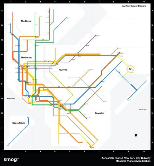
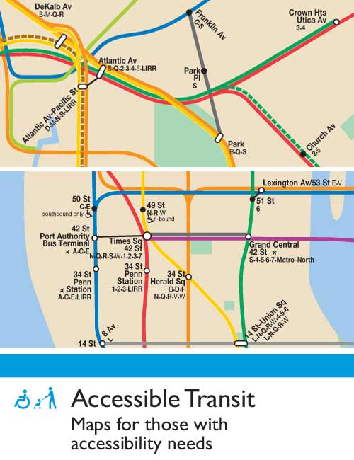
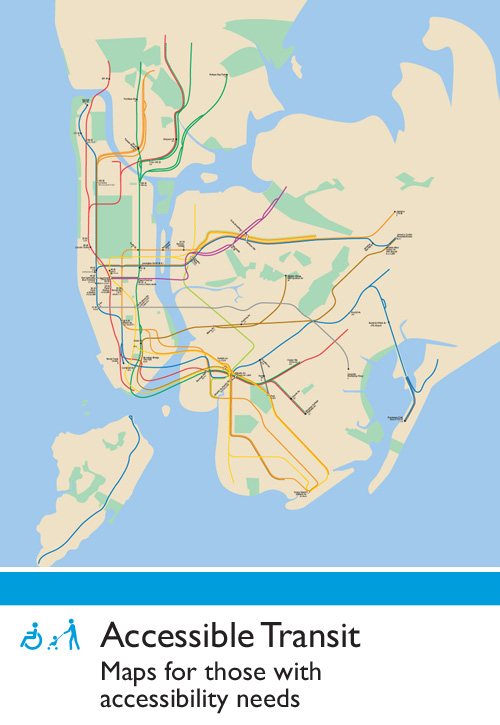
What hasn’t been spared are people’s commute – which has been brutal due to the lack of power below 34th Street. This means that even if all cross river tunnels were dry and open for operation there would be no service due to power loss. Below is the Accessible Transit map for the New York City Subway during partial shutdown. This is the sixth installment of my Accessible Transit Map series – an unofficial map, not sanctioned by the MTA or NYCTA. As in previous maps, I have removed all stations which are not handicapped accessible.
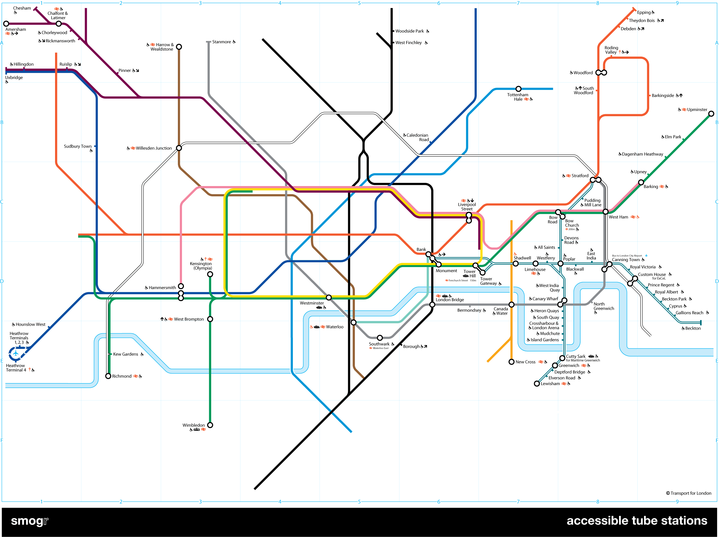
Maps represent corporeal objects, through convenient fictions; a representation which works for a majority of its users. But where are the maps for the disabled or those require additional accessibility? Wouldn’t the mother with newborn in stroller need a different map then those without the need to lug all the accoutrement’s of childhood? Equally, those in a wheelchair require a map different then one which the walking can use. I decided to rectify the situation by editing the maps of major metropolitan transportation systems, in order to create a map for those who are not represented on the official map.
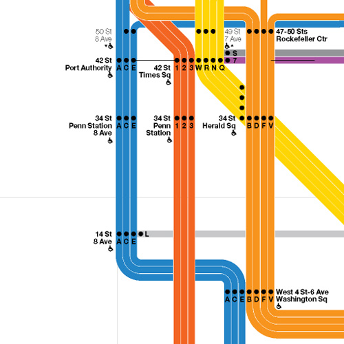
Midtown Detail

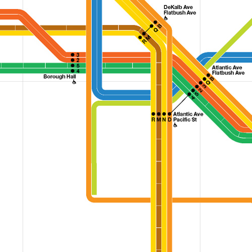
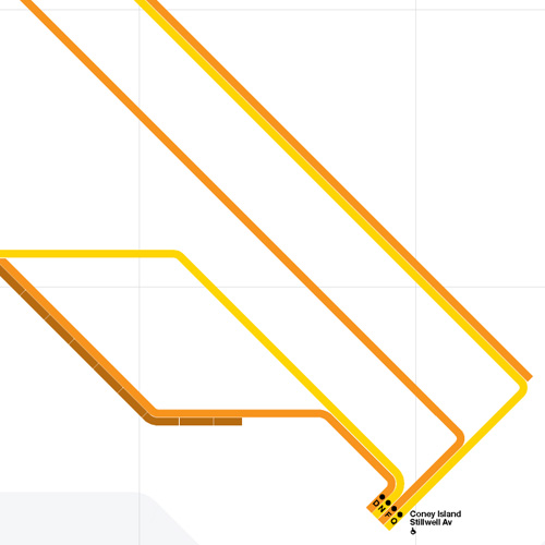
Overall Map
![]()
You may download the Accessible Transit NYC Subway Hurricane Sandy Service map here:
- Accessible Transit NYC Subway Hurricane Sandy Service – jpg version
- Accessible Transit NYC Subway Hurricane Sandy Service – pdf version
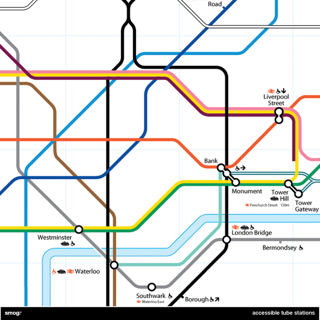
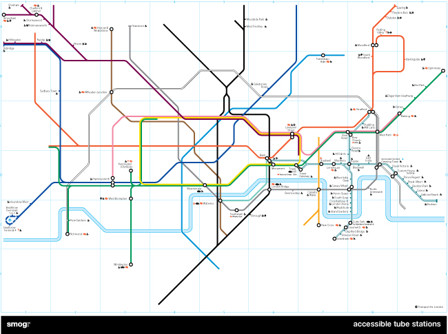
Other Accessible Transit Maps for your perusal:

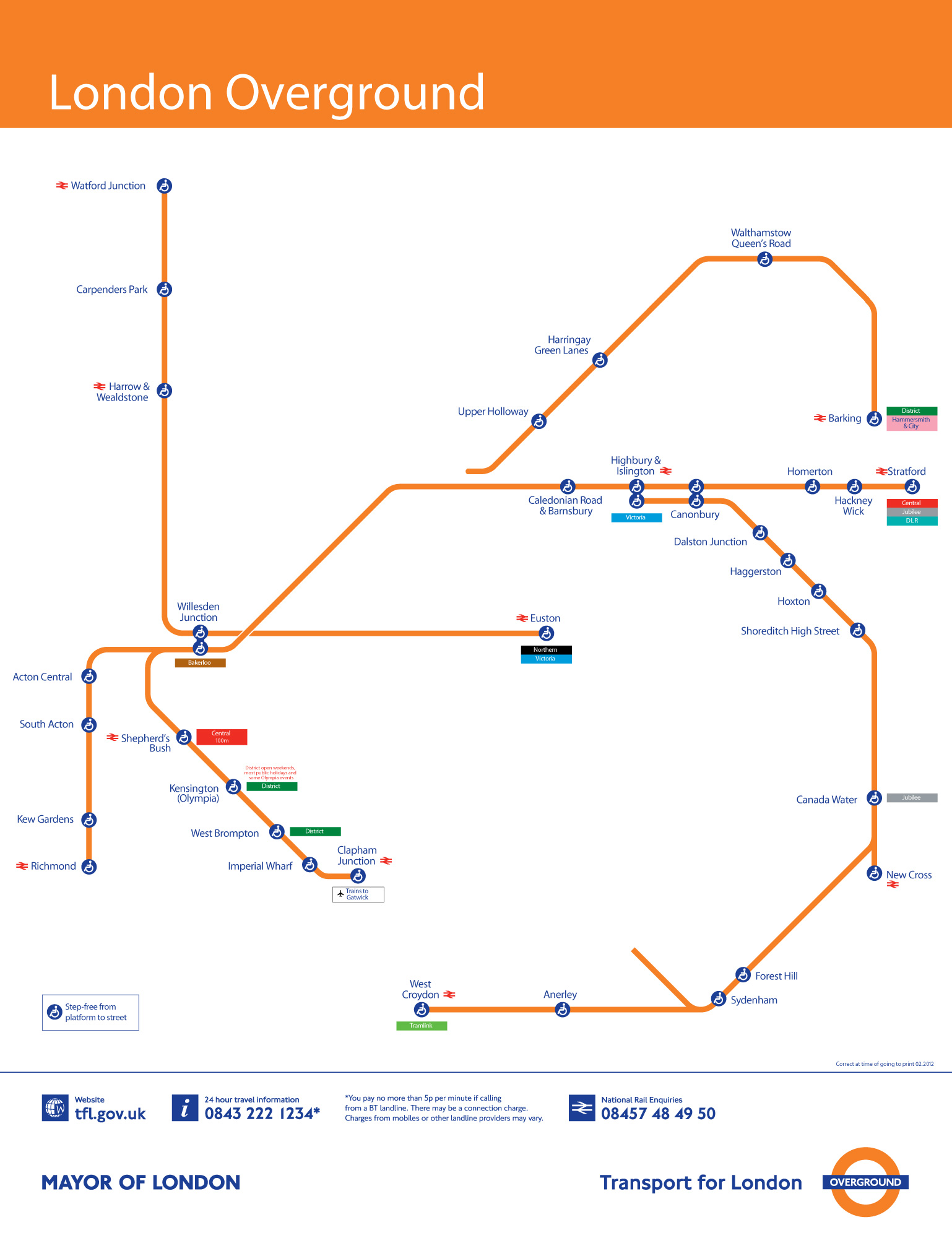
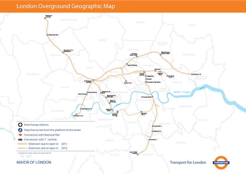