Here lies a thought experiment, in the wild, of imagining a world where specific technologies or situations arise. This isn’t meant as a comprehensive overview, but rather a scratch-pad in the open.
What would happen when the Global Positioning System (GPS) degrades?
GPS is a low-earth orbit based system consisting of a constellation of satellites, with hyper-accurate atomic clocks, which rely on the radio receiver seeing four or more satellites in order to gain a fix on your location on Earth. It was built and maintained by the US Government, specifically by the Air Force, and can be shut off at anytime. Rival systems such as Russia’s GLONASS or China’s BeiDou Navigation Satellite or European Union Galileo positioning system, and India’s NAVIC are similar systems. We’ll use GPS as a shorthand for any system which gives us specific location on Earth for simplicity.
Imagine a world where GPS is degraded due to any reason, either as a tactical action during war, intentional sabotage, or neglect. What does this world look like?
We know what the world would look like, since for thousands of years we haven’t had GPS. But once GPS was fully active, almost no human doesn’t interact with GPS directly, and every human interacts with GPS as an indirect, or second-order, effect.
Obviously getting around would be more difficult, because or iPhone maps (or whatever they will be in the future) will not work. Google used to own a constellation of satellites to map the world, so it might be financially viable for them to build their own system.
Assuming whatever action has degraded GPS also doesn’t destroy existing digital map systems, then utilizing machine vision and local landmarks could be a viable alternative to GPS.
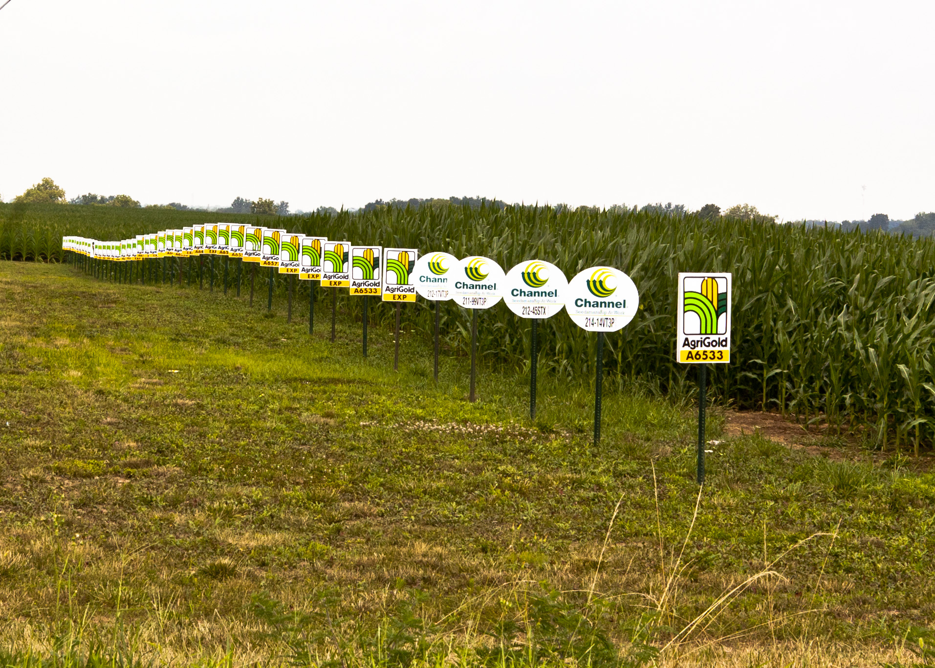
Farmers continue to utilize GPS in order to maximize their yield. If GPS degrades and their future automated farming equipment can’t utilize a precise fix, they could always fall-back on using patterns to farm. Our future farmer could drive the tractor while recording the distance and heading into the machine’s memory. So all we would need is a good compass and good watch which is precise–enough. The machine would record the action, for example traveling NNE at a heading of 13 degrees for 4 minutes 23 seconds; stop, turn right to head E at 92 degrees for 10 minutes 12 seconds…etc, etc, etc. The key would be the starting point, so that seeding, weeding, thrashing, etc is all the same pattern.
One of the hardest part of seafaring was accurate timekeeping in order to locate the ship east-west in longitude. We figured out latitude fairly accurately via measuring the altitude of the Sun at noon (the “noon sight”), but longitude needed precise and accurate timekeeping because of the earth rotation. There were lots of experiments on timekeeping, but most failed on boats since pendular action doesn’t really work on a heaving boat. There were even a series of longitude rewards to inventors, spearheaded by the ocean-going Brits, to incentivize practical methods of precise determination of a ship’s longitude at sea.
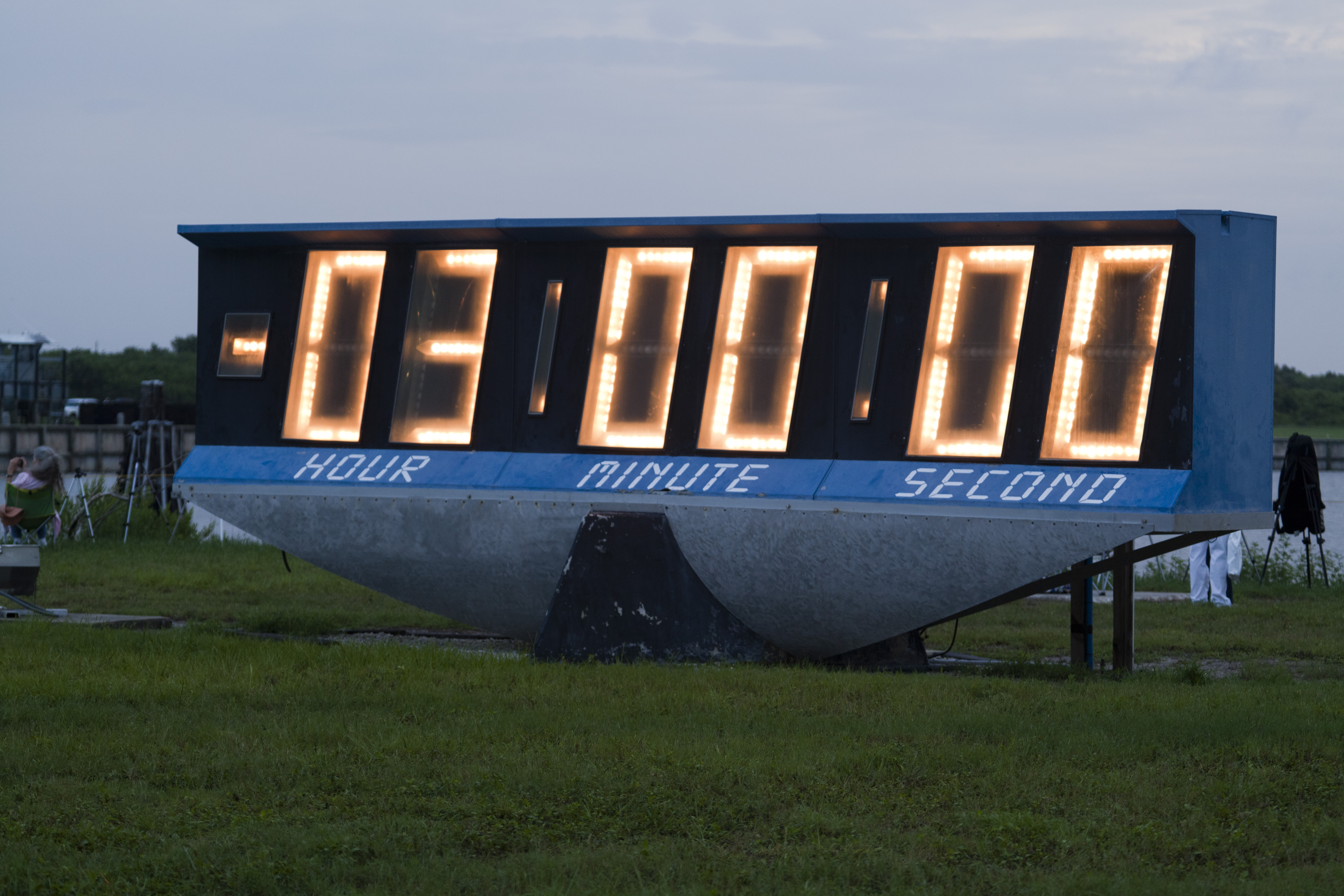
So, in the future maybe we all need accurate watches and a good sextant.
Or, maybe our future farmer will use the roomba method, where we would create a random pattern of a flock of thrashers. Maybe this would only work if we are farming grass/hay. And it would need barriers – either electronic or physical to not escape the zone. There is (a perhaps apocryphal) story about the CIA using automated roomba-like machines which cut all the grass at CIA HQ and having to disable the GPS.